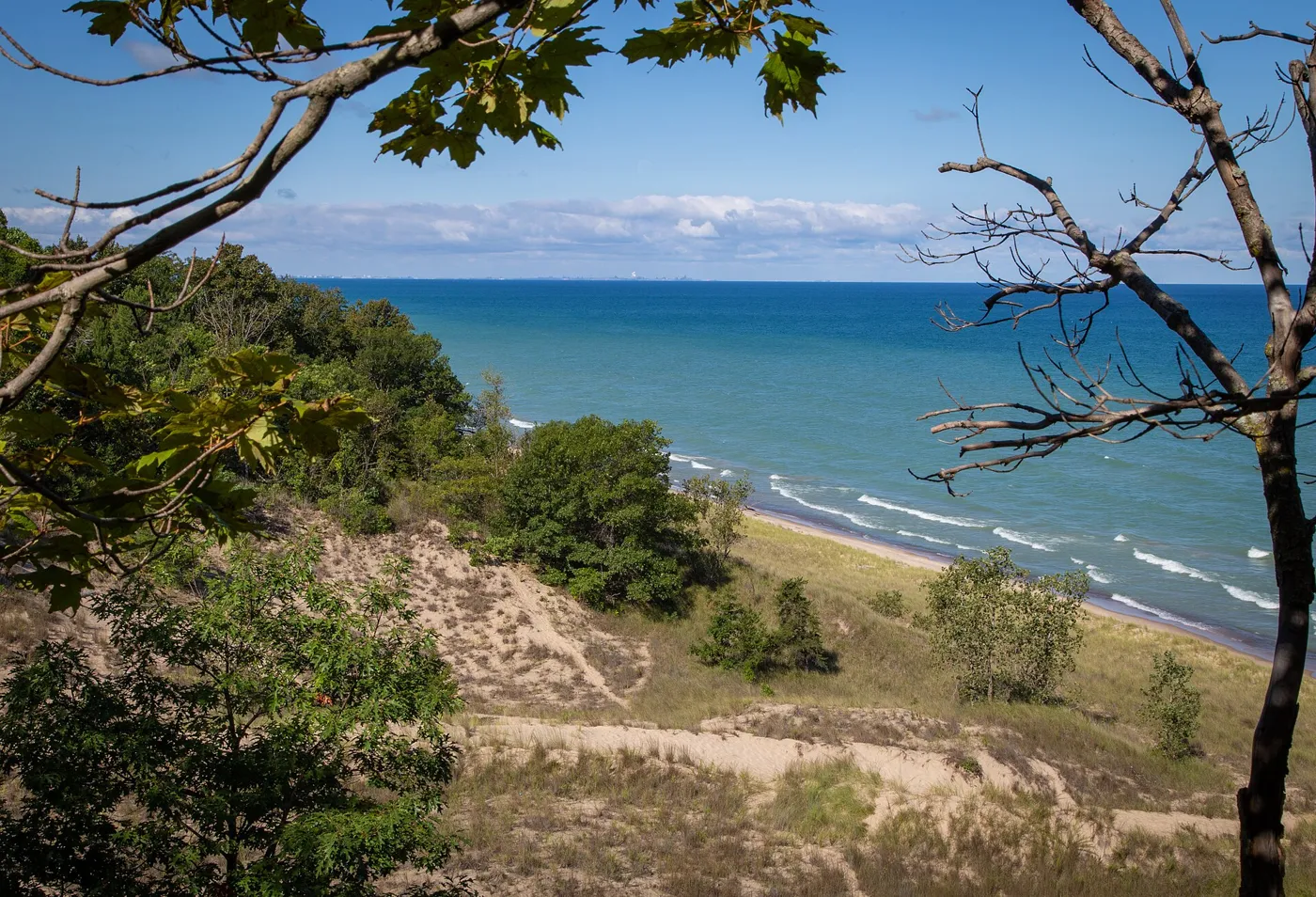
Chicago has nine state parks within 50 miles, and three of them each go a different way. Indiana Dunes, 34 miles east, has more than three miles of Lake Michigan beach under dunes nearly 200 feet tall. Illinois Beach, 40 miles north near the Wisconsin line, is the last beach ridge shoreline left in the state. Kankakee River, 48 miles southwest, follows a clean, naturally channeled river for 11 miles. This is the outdoor half of the day. The eating half is at the end: one table on the way back from each park.
We run State Park Near Me, a directory of every state park in the country, and we are a guest here. Top of Chicago asked for the parks. They supplied the restaurants.
The day, in order
Indiana Dunes runs on Central Time, the same as Chicago, though its event listings are posted in Eastern Time, so check the hour twice. Its gate fee is $20 for a car with Illinois plates. Neither Illinois park page lists hours or an entrance fee, and Illinois Beach asks you to call the park office before a trip, because weather can close roads and facilities. Kankakee River is a hunting park in season, with archery deer, waterfowl and upland game programs, so call there too before a fall hike. Dogs must stay on a leash at Illinois Beach, and they are not allowed on the beach at Indiana Dunes.
Indiana Dunes
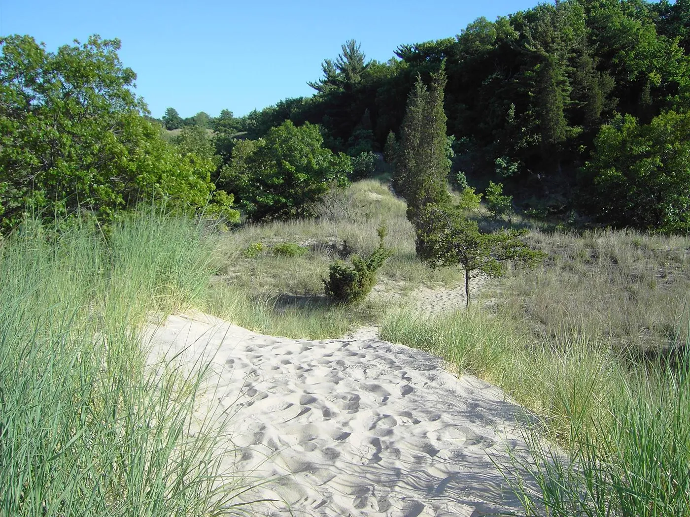
The park covers 2,182 acres at the north end of State Road 49, with more than three miles of beach on Lake Michigan’s southern shore. People fought for it in the early 1900s, and it became a state park in 1925. The dunes took thousands of years to form and rise nearly 200 feet above the lake. Trail 8 is the rugged one: a mile and a half over the tops of the three highest dunes, part of the 3 Dune Hiking Challenge. Trail 9, 3.75 miles, gives the best overall view of the dunes and the lake, and Trail 10, 5.5 miles, passes stands of white pine and a tree graveyard in the Big Blowout. The nature center is open daily from 9 a.m. to 4 p.m. Central Time, and the restored Dunes Pavilion has a rooftop bar and grill, with hours that vary. The gate fee is $7 for Indiana plates and $20 for others.
Illinois Beach
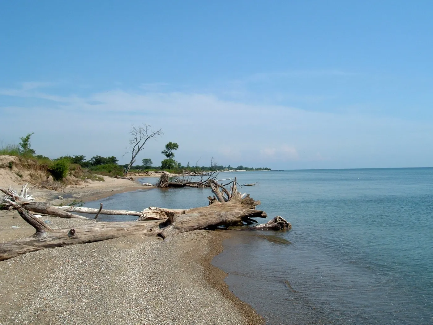
Illinois Beach stretches 6.5 miles along Lake Michigan and is the only beach ridge shoreline left in Illinois: dunes and swales, big marshes and oak forest. More than 650 plant species have been recorded in the dunes alone, prickly pear cactus grows in large colonies in the dry spots, and the sandy ridges carry black oak in an open, savanna-like spread. For much of the year, waves pile sandbars across the mouth of the Dead River and turn it slow and marshy. The park’s 4,160 acres come in two separate units, North and South, with swimming beaches, trails, fishing and camping. The area south of Beach Road became the first Illinois Nature Preserve in 1964. To get there, take I-94 or I-294 to Route 173 east, then Sheridan Road to Wadsworth Road. Pets must stay on a leash.
Kankakee River
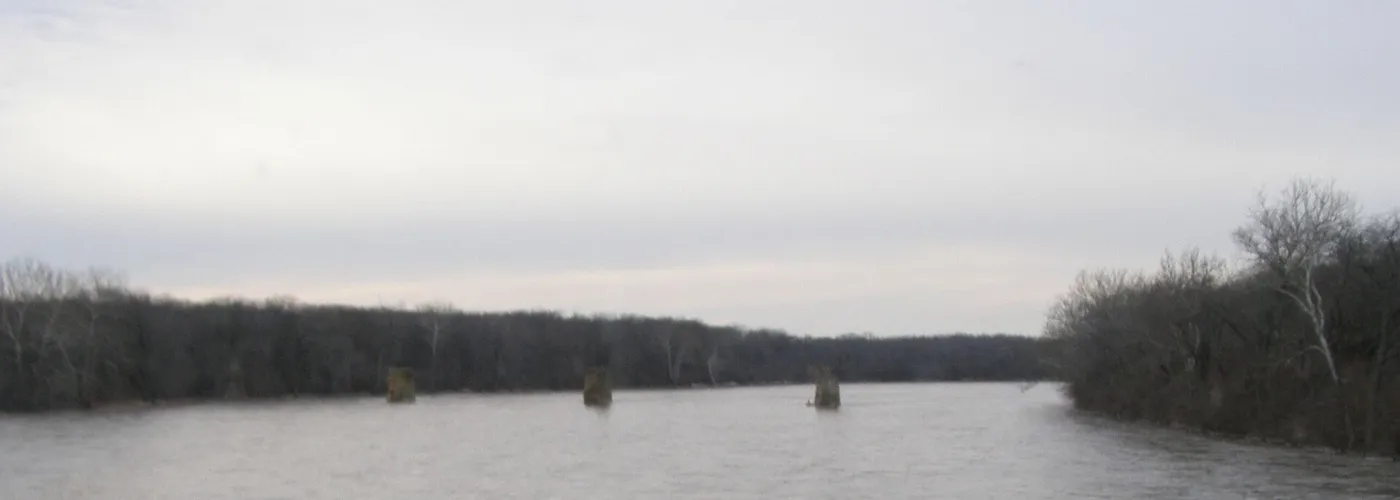
The park wraps both banks of the Kankakee River for 11 miles, about 4,000 acres six miles northwest of the town of Kankakee, between Route 102 and Route 113. The river is listed on the Federal Clean Streams Register, and anglers come for smallmouth bass, channel catfish, walleye and northern pike, in the river and in Rock Creek. Boat ramps are at the Warner Bridge Day Use Area and the Area 9 lot on the south side. The history runs deep here. By the 1770s the Potawatomi, Ottawa and Chippewa nations held the area, and their largest village, Rock Village, stood near the mouth of Rock Creek, where the last great Indian Council met in 1830. A boulder on the Rock Creek nature trail marks the grave of Chief Shaw-waw-nas-see. From Chicago, I-55 and I-57 both lead here.
The full list
Directions, maps and the official site for each of these, plus the other six state parks within 50 miles, are on our side. The state parks near Chicago page on State Park Near Me lists all nine, closest first, with a page for every park.


